Severe Weather Definitely Possible In East Texas This Saturday

There are a lot of outdoor events going on tomorrow, Saturday, June 10th that will have event coordinators monitoring weather conditions quite closely.
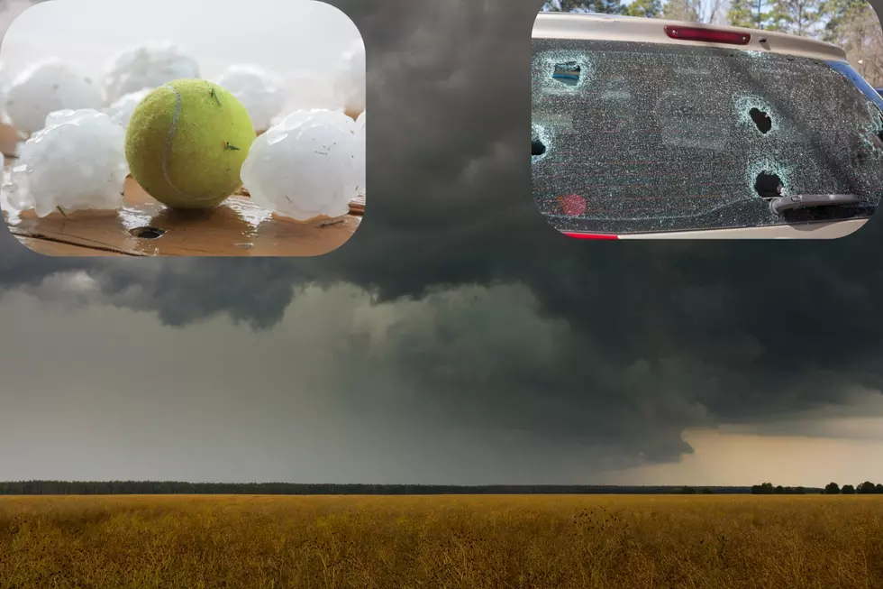
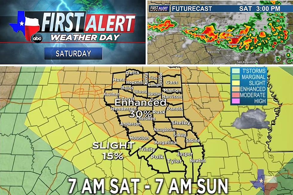
A strong storm system is expected to move through East Texas Saturday afternoon into the evening and overnight hours that could bring with it some potentially bad weather in the form of heavy rain, the possibility of large hail, and high winds. The Storm Prediction Center in Norman, OK has placed all of East Texas under an 'Enhanced Risk' of seeing a strong damaging thunderstorm develop within the area. The 'Enhanced Risk' means there is a 30% chance of seeing a strong storm to develop.
KLTV 7 has declared Saturday and Saturday afternoon as a 'First Alert Weather Day'. Meteorologist Katie Vossler says the main threat from this storm system will be heavy rain, large hail, and damaging gusty winds. There could be two rounds of storms that move in beginning around lunchtime in the northern portions of East Texas. Depending upon how far south this round goes, could affect how strong the second round of storms could be later in the afternoon. A spin-up tornado cannot be ruled out, but the chances at this point are low but always possible.
With a good bit of luck on our side, Jacksonville's Tomato Fest and the Blueberry Festival in Nacogdoches should be ok for the first part of the day as the storm system isn't expected to reach Jacksonville and Nacogdoches until late afternoon. In any event, you'll want to be weather aware all afternoon long as any storm could pop up at any time.
UPDATED FUTURECAST IMAGES - 06.09.23 @ 13:51
ORIGINAL FUTURECAST IMAGES
In the event of severe weather or tornado warnings, we will keep you updated with continuous coverage from the KLTV First Alert Weather team.
4 Reasons Why AI Thinks Whataburger is Better Than In-N-Out Burger
7 Suggestions for Chicken and Waffles Near Tyler, Texas
16 Things to Say or Do That Will Get Your Texas Card Revoked
More From Mix 93.1

